Brookline’s Hidden Flood Risks: What New Maps Reveal and What They Miss
Brookline’s flood risk has long been a topic of curiosity for homeowners, investors, and local professionals. But this year, the release of FEMA’s updated flood maps sparked an important conversation: Is Brookline’s flood risk far higher than what the new maps show?
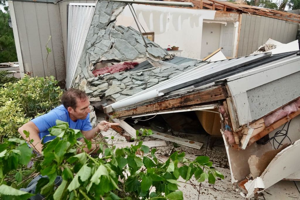
In June, FEMA introduced updated maps for Norfolk County. Brookline’s new map identifies 97 high‑risk parcels—properties with a 1% or greater annual flood chance requiring flood insurance. These parcels sit mostly around Leverett Pond and the Muddy River. Helpful as these tools are, local experts say they don’t tell the whole story.
Source: Brookline News — “Brookline’s flood risk may be higher than FEMA’s new map shows”
Read the original report
“There is a false sense of safety that many people assume if their property is not officially designated in a FEMA floodplain,” said Maria Rose, Brookline’s environmental engineer and floodplain administrator. “Flooding can happen anywhere.”
The Muddy River: Designed for Protection, Tested by Nature
Much of Brookline’s flood resilience traces back to Frederick Law Olmsted’s Emerald Necklace design—parklands surrounding waterways to buffer homes from flooding. Landscape historian Arleyn Levee emphasized that these green spaces weren’t just aesthetic; they were strategic environmental mitigation.
The town saw this system tested in the 1990s. In the floods of October 1996, more than 12 inches of rainfall overwhelmed the Muddy River system. Sediment, neglect, and obstructed waterways worsened the problem. Roads, stations, and buildings experienced significant damage.
In response, the Muddy River Restoration Project began—ultimately becoming a $92 million, decades-long effort completed largely by 2023. The improvements included dredging, invasive species removal, and daylighting buried river segments—restoring both ecological function and flood capacity.
Flooding Beyond the Riverbanks
While riverine flooding is the basis for FEMA’s models, it’s only part of the problem. Brookline experiences frequent pluvial flooding—flooding caused when stormwater overwhelms soil absorption and drainage systems.
Transportation corridors, MBTA stations, and roads bordering floodplains are vulnerable during significant rain events. Residents voiced major concerns about access, travel disruption, and emergency response times during Brookline’s Climate Action and Resiliency Plan (CARP) development.
Beacon Street: The Flooding That FEMA Doesn’t Capture
Beacon Street is one of Brookline’s most flood‑prone corridors, yet FEMA’s map labels the area low‑risk. Another model reveals a different truth.
Explore the Interactive Map: First Street Flood Factor offers a richer look at flood risks, including rainfall, tides, surges, and climate‑driven changes.
When First Street’s factors are considered, the number of Brookline properties at risk over the next 30 years jumps to over 1,300—nearly a quarter of the town.
Flood modeler Daniel Rees notes that flood maps are only “one view” of a broad, uncertain future. Being “just inside” or “just outside” a FEMA zone can mean drastically different risk levels.
Other tools, such as the USGS Coastal Change Hazards Portal, Massachusetts CZM Hurricane Surge map, and NOAA’s Sea Level Rise Viewer, provide additional lenses for evaluating risk.
Climate Change and Urbanization: A Growing Threat
Brookline officials warn that changing climate patterns are intensifying storms and reshaping flood risk. More frequent downpours combined with hard urban surfaces reduce natural water absorption, amplifying flooding potential.
“The amount of water that is now coming down in a storm is unbelievable,” Levee said, expressing doubt about whether traditional flood control designs can handle modern extremes.
Rees raised concerns familiar to many real estate and insurance professionals: Could areas like Brookline see future impacts on property values—or even insurability?
How Soon Until Brookline’s Next Big Flood?
While storms causing nuisance flooding are expected, flash floods—like those in 1996—pose serious risk even in places labeled “low‑risk.” Nationwide, over 40% of flood insurance claims come from properties outside FEMA high‑risk zones.
This reality puts communities like Brookline on alert. Climate‑fueled storms have caused catastrophic flooding in cities across the U.S. in recent years. Local officials worry that a similarly intense event could overwhelm culverts, road systems, and restored waterways.
For now, flood control measures stand ready—but their true test may be closer than residents expect.
Professionals Take Note:
Flood literacy is becoming essential for real estate agents, adjusters, insurers, and urban planners. At Cameron Academy, we train professionals nationwide to recognize environmental factors that influence property value, insurance needs, and long‑term risk.
Getting licensed or staying ahead in your career can be a journey—but it doesn’t have to be overwhelming. Grab your favorite coffee or tea, take a moment to relax, and browse through our articles. Whether you’re just starting out or renewing your expertise, we’ve got tips, insights, and advice to keep you moving forward. Here’s to your success—one sip and one step at a time!
A new national survey shows that while most real estate agents now use AI for everyday tasks like writing listing descriptions and social posts, many remain uneasy trusting the technology with higher‑stakes responsibilities. Agents report major time savings and better communication thanks to AI, but lingering concerns about accuracy, compliance and data interpretation reveal a growing skills gap. The industry’s next big need: stronger AI tools, clearer standards and hands‑on training — a gap education providers like Cameron Academy are poised to fill.
Florida homeowners and real estate professionals are being crushed by skyrocketing insurance premiums, shrinking coverage, and a claims system stacked against consumers. While residents face the highest insurance costs in the nation, meaningful reform bills are being ignored in Tallahassee, leaving families, businesses, and the entire real estate market exposed.
Artificial intelligence is exposing the real estate industry's biggest weakness: fragmented, inconsistent data scattered across disconnected systems. Unlike finance and e‑commerce, real estate never built a unified digital foundation—and now AI can’t function without one. As companies scramble to standardize information, organizations like OSCRE are pushing shared data models that could transform everything from leasing to property management. The result may be the industry’s most collaborative era yet, where clean, interoperable data becomes the key to unlocking AI’s full power.
Off‑market networks, rising small‑investor buying, regulatory shifts, and intensifying portal competition are reshaping how homes are found and sold. With inventory tight and traditional listings declining, agents who understand investor behavior, private deal flow, and evolving rules are gaining a major edge in today’s fast‑changing housing landscape.
Despite state leaders celebrating stabilization, Florida homeowners continue to face some of the highest insurance premiums in the country. Local experts say rates have stopped skyrocketing but have settled at levels that feel permanently elevated—especially for older or coastal homes. With insurers still avoiding high‑risk areas and demanding costly home upgrades, many Floridians are questioning whether this expensive reality is here to stay.
California is pushing a landmark proposal that would force insurers to offer coverage to homeowners who meet state‑approved wildfire‑mitigation standards. The new SB 1076, known as the Insurance Coverage for Fire‑Safe Homes Act, aims to stabilize the state’s distressed insurance market by guaranteeing coverage for fire‑hardened homes starting in 2028—backed by strict penalties for insurers who refuse. As supporters rally and critics warn of market strain, the bill could reshape real estate, insurance, and lending practices across wildfire‑prone regions.


