Brookline’s Hidden Flood Risks: What New Maps Reveal and What They Miss
Brookline’s flood risk has long been a topic of curiosity for homeowners, investors, and local professionals. But this year, the release of FEMA’s updated flood maps sparked an important conversation: Is Brookline’s flood risk far higher than what the new maps show?
In June, FEMA introduced updated maps for Norfolk County. Brookline’s new map identifies 97 high‑risk parcels—properties with a 1% or greater annual flood chance requiring flood insurance. These parcels sit mostly around Leverett Pond and the Muddy River. Helpful as these tools are, local experts say they don’t tell the whole story.
Source: Brookline News — “Brookline’s flood risk may be higher than FEMA’s new map shows”
Read the original report
“There is a false sense of safety that many people assume if their property is not officially designated in a FEMA floodplain,” said Maria Rose, Brookline’s environmental engineer and floodplain administrator. “Flooding can happen anywhere.”
The Muddy River: Designed for Protection, Tested by Nature
Much of Brookline’s flood resilience traces back to Frederick Law Olmsted’s Emerald Necklace design—parklands surrounding waterways to buffer homes from flooding. Landscape historian Arleyn Levee emphasized that these green spaces weren’t just aesthetic; they were strategic environmental mitigation.
The town saw this system tested in the 1990s. In the floods of October 1996, more than 12 inches of rainfall overwhelmed the Muddy River system. Sediment, neglect, and obstructed waterways worsened the problem. Roads, stations, and buildings experienced significant damage.
In response, the Muddy River Restoration Project began—ultimately becoming a $92 million, decades-long effort completed largely by 2023. The improvements included dredging, invasive species removal, and daylighting buried river segments—restoring both ecological function and flood capacity.
Flooding Beyond the Riverbanks
While riverine flooding is the basis for FEMA’s models, it’s only part of the problem. Brookline experiences frequent pluvial flooding—flooding caused when stormwater overwhelms soil absorption and drainage systems.
Transportation corridors, MBTA stations, and roads bordering floodplains are vulnerable during significant rain events. Residents voiced major concerns about access, travel disruption, and emergency response times during Brookline’s Climate Action and Resiliency Plan (CARP) development.
Beacon Street: The Flooding That FEMA Doesn’t Capture
Beacon Street is one of Brookline’s most flood‑prone corridors, yet FEMA’s map labels the area low‑risk. Another model reveals a different truth.
Explore the Interactive Map: First Street Flood Factor offers a richer look at flood risks, including rainfall, tides, surges, and climate‑driven changes.
When First Street’s factors are considered, the number of Brookline properties at risk over the next 30 years jumps to over 1,300—nearly a quarter of the town.
Flood modeler Daniel Rees notes that flood maps are only “one view” of a broad, uncertain future. Being “just inside” or “just outside” a FEMA zone can mean drastically different risk levels.
Other tools, such as the USGS Coastal Change Hazards Portal, Massachusetts CZM Hurricane Surge map, and NOAA’s Sea Level Rise Viewer, provide additional lenses for evaluating risk.
Climate Change and Urbanization: A Growing Threat
Brookline officials warn that changing climate patterns are intensifying storms and reshaping flood risk. More frequent downpours combined with hard urban surfaces reduce natural water absorption, amplifying flooding potential.
“The amount of water that is now coming down in a storm is unbelievable,” Levee said, expressing doubt about whether traditional flood control designs can handle modern extremes.
Rees raised concerns familiar to many real estate and insurance professionals: Could areas like Brookline see future impacts on property values—or even insurability?
How Soon Until Brookline’s Next Big Flood?
While storms causing nuisance flooding are expected, flash floods—like those in 1996—pose serious risk even in places labeled “low‑risk.” Nationwide, over 40% of flood insurance claims come from properties outside FEMA high‑risk zones.
This reality puts communities like Brookline on alert. Climate‑fueled storms have caused catastrophic flooding in cities across the U.S. in recent years. Local officials worry that a similarly intense event could overwhelm culverts, road systems, and restored waterways.
For now, flood control measures stand ready—but their true test may be closer than residents expect.
Professionals Take Note:
Flood literacy is becoming essential for real estate agents, adjusters, insurers, and urban planners. At Cameron Academy, we train professionals nationwide to recognize environmental factors that influence property value, insurance needs, and long‑term risk.
Getting licensed or staying ahead in your career can be a journey—but it doesn’t have to be overwhelming. Grab your favorite coffee or tea, take a moment to relax, and browse through our articles. Whether you’re just starting out or renewing your expertise, we’ve got tips, insights, and advice to keep you moving forward. Here’s to your success—one sip and one step at a time!
After years of sluggish commercial real estate performance, falling interest rates may finally set the stage for a market rebound. As the Federal Reserve signals further cuts, investors are eyeing REITs—and especially the Direxion Real Estate Bull 3X ETF (DRN), a leveraged fund designed to triple the daily movement of major commercial real estate stocks. DRN offers powerful upside potential during a rally, but its high‑risk, short‑term nature means it’s best suited for experienced traders who understand volatility and the mechanics of leverage.
A new proposal in Florida’s legislature could reshape the path to homeownership for working residents. House Bill 311, championed by State Rep. Jervonte Edmonds, would require certain private employers to contribute up to $5,000 toward their first-time homebuyer employees’ down payments or closing costs. Backed by bipartisan support, the bill ties employer tax write-offs directly to helping workers purchase homes, marking a unique approach to housing affordability. Now moving through committee, HB 311 could become one of the nation’s most innovative employer-assisted housing programs.
Artificial intelligence is pushing the real estate industry to confront a long‑standing problem: its data is fragmented, inconsistent, and nearly impossible for AI systems to interpret. From leases and rent rolls to county records and work orders, nothing is standardized, making AI adoption costly and inefficient. Industry leaders are now turning toward shared data standards and ontologies—like OSCRE’s “smart data highway”—to create cleaner, interoperable information systems. As real estate evolves, professionals who understand data and AI will have a major advantage, and schools like Cameron Academy are helping prepare them for this shift.
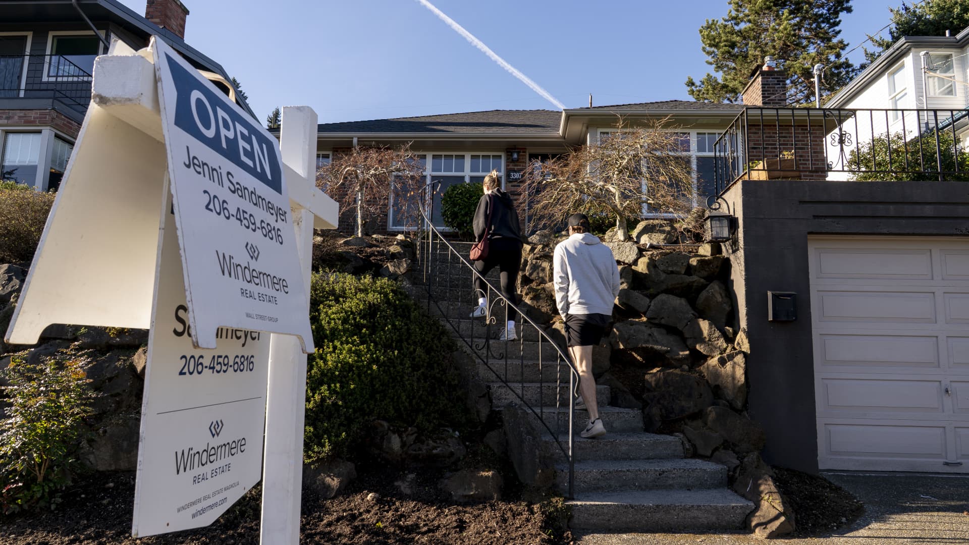
The U.S. housing market stumbled into 2026 as January home sales tumbled 8.4% from December, hitting their lowest pace in over a year. With inventory still tight, prices rising, and market activity stagnating, NAR’s chief economist warns that Americans—especially renters—are “stuck” in a new kind of housing crisis. Despite improving affordability on paper, sluggish movement and regional declines signal a market demanding sharper strategy and adaptability from today’s real estate professionals.
A fresh 2026 analysis reveals the top home insurance companies in the U.S., breaking down which carriers offer the best value, coverage options, and customer satisfaction. State Farm leads for customer experience, American Family shines for first-time buyers, and Allstate, Farmers, and Nationwide each earn top marks in specialized categories. With Florida’s premiums surging to more than double the national average, industry pros and homeowners alike gain a clear advantage by understanding which insurers remain strong—especially as weather risks, insurer withdrawals, and rising reconstruction costs reshape the market.
A new Perryman Group analysis shows Florida’s 2022–2023 insurance reforms are paying off, lowering property‑casualty costs by 14.5% and generating more than $4.2 billion in economic activity. With over 29,000 jobs created and premium increases nearly flat in 2025, the state’s long‑troubled insurance market is finally stabilizing as major carriers reduce rates and return to the market.


