Brookline’s Hidden Flood Risks: What New Maps Reveal and What They Miss
Brookline’s flood risk has long been a topic of curiosity for homeowners, investors, and local professionals. But this year, the release of FEMA’s updated flood maps sparked an important conversation: Is Brookline’s flood risk far higher than what the new maps show?
In June, FEMA introduced updated maps for Norfolk County. Brookline’s new map identifies 97 high‑risk parcels—properties with a 1% or greater annual flood chance requiring flood insurance. These parcels sit mostly around Leverett Pond and the Muddy River. Helpful as these tools are, local experts say they don’t tell the whole story.
Source: Brookline News — “Brookline’s flood risk may be higher than FEMA’s new map shows”
Read the original report
“There is a false sense of safety that many people assume if their property is not officially designated in a FEMA floodplain,” said Maria Rose, Brookline’s environmental engineer and floodplain administrator. “Flooding can happen anywhere.”
The Muddy River: Designed for Protection, Tested by Nature
Much of Brookline’s flood resilience traces back to Frederick Law Olmsted’s Emerald Necklace design—parklands surrounding waterways to buffer homes from flooding. Landscape historian Arleyn Levee emphasized that these green spaces weren’t just aesthetic; they were strategic environmental mitigation.
The town saw this system tested in the 1990s. In the floods of October 1996, more than 12 inches of rainfall overwhelmed the Muddy River system. Sediment, neglect, and obstructed waterways worsened the problem. Roads, stations, and buildings experienced significant damage.
In response, the Muddy River Restoration Project began—ultimately becoming a $92 million, decades-long effort completed largely by 2023. The improvements included dredging, invasive species removal, and daylighting buried river segments—restoring both ecological function and flood capacity.
Flooding Beyond the Riverbanks
While riverine flooding is the basis for FEMA’s models, it’s only part of the problem. Brookline experiences frequent pluvial flooding—flooding caused when stormwater overwhelms soil absorption and drainage systems.
Transportation corridors, MBTA stations, and roads bordering floodplains are vulnerable during significant rain events. Residents voiced major concerns about access, travel disruption, and emergency response times during Brookline’s Climate Action and Resiliency Plan (CARP) development.
Beacon Street: The Flooding That FEMA Doesn’t Capture
Beacon Street is one of Brookline’s most flood‑prone corridors, yet FEMA’s map labels the area low‑risk. Another model reveals a different truth.
Explore the Interactive Map: First Street Flood Factor offers a richer look at flood risks, including rainfall, tides, surges, and climate‑driven changes.
When First Street’s factors are considered, the number of Brookline properties at risk over the next 30 years jumps to over 1,300—nearly a quarter of the town.
Flood modeler Daniel Rees notes that flood maps are only “one view” of a broad, uncertain future. Being “just inside” or “just outside” a FEMA zone can mean drastically different risk levels.
Other tools, such as the USGS Coastal Change Hazards Portal, Massachusetts CZM Hurricane Surge map, and NOAA’s Sea Level Rise Viewer, provide additional lenses for evaluating risk.
Climate Change and Urbanization: A Growing Threat
Brookline officials warn that changing climate patterns are intensifying storms and reshaping flood risk. More frequent downpours combined with hard urban surfaces reduce natural water absorption, amplifying flooding potential.
“The amount of water that is now coming down in a storm is unbelievable,” Levee said, expressing doubt about whether traditional flood control designs can handle modern extremes.
Rees raised concerns familiar to many real estate and insurance professionals: Could areas like Brookline see future impacts on property values—or even insurability?
How Soon Until Brookline’s Next Big Flood?
While storms causing nuisance flooding are expected, flash floods—like those in 1996—pose serious risk even in places labeled “low‑risk.” Nationwide, over 40% of flood insurance claims come from properties outside FEMA high‑risk zones.
This reality puts communities like Brookline on alert. Climate‑fueled storms have caused catastrophic flooding in cities across the U.S. in recent years. Local officials worry that a similarly intense event could overwhelm culverts, road systems, and restored waterways.
For now, flood control measures stand ready—but their true test may be closer than residents expect.
Professionals Take Note:
Flood literacy is becoming essential for real estate agents, adjusters, insurers, and urban planners. At Cameron Academy, we train professionals nationwide to recognize environmental factors that influence property value, insurance needs, and long‑term risk.
Getting licensed or staying ahead in your career can be a journey—but it doesn’t have to be overwhelming. Grab your favorite coffee or tea, take a moment to relax, and browse through our articles. Whether you’re just starting out or renewing your expertise, we’ve got tips, insights, and advice to keep you moving forward. Here’s to your success—one sip and one step at a time!
Financial analysis remains one of the strongest career paths for professionals seeking high earnings, steady growth, and long-term stability. With median salaries above $100K, expanding demand across industries, and clear promotion tracks leading to senior leadership roles, the field offers both opportunity and resilience—even as AI reshapes the workplace. This article breaks down what analysts do, salary expectations, job outlook, industry demand, and whether this career is the right fit for you.
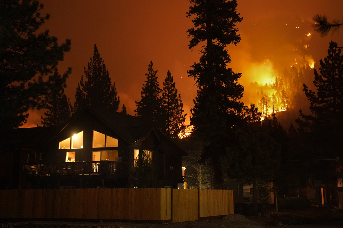
After losing their home in the Los Angeles wildfires, Jessica and Matt Conkle expected their insurance policy to help them rebuild. Instead, they found themselves trapped in delays, lowball offers, and endless adjuster changes — a struggle now shared by thousands across California. Their experience highlights a nationwide problem: insurers pulling back from climate‑risk areas, soaring premiums, shrinking coverage, and regulators under fire. For professionals in real estate, mortgage, and insurance, this growing instability is reshaping transactions, lending, risk assessment, and the future of homeownership in America.
Kansas City’s housing market is finally gaining momentum heading into 2026 as falling interest rates, new construction, and a renewed focus on affordable homes open the door for first‑time buyers. Economists say improved supply and softer mortgage rates could shift the market after a challenging 2025, giving real estate professionals and buyers a promising window of opportunity.
Nevada has become the first state to allow insurers to sell homeowners policies without wildfire protection—a move aimed at lowering premiums but raising concerns about consumer risk and mortgage barriers. The law introduces new wildfire‑only policies and a regulatory sandbox for insurance innovation, potentially setting a precedent for other Western states.
Investment groups across the U.S. are rapidly expanding into tax‑deferred real estate programs as demand for Delaware Statutory Trusts (DSTs) accelerates. Major players like Blackstone, Brookfield, Denholtz, and PREP are launching new offerings fueled by stronger market certainty, a historic generational wealth transfer, and renewed confidence in 1031 exchange benefits. As DSTs move into the mainstream, real estate professionals are finding new opportunities to guide clients through advanced tax‑advantaged investment strategies.
Canada’s proptech sector is evolving fast as AI adoption accelerates and investor caution forces startups to mature. Funding has tightened, growth rounds have slowed, and companies are shifting from rapid expansion to profitability and real product‑market fit. AI‑driven platforms like Mave are gaining traction, consolidation is rising, and government housing initiatives may boost construction‑focused tech. For real estate professionals, these trends signal a new industry standard where AI tools and ongoing education are essential to staying competitive.


