Brookline’s Hidden Flood Risks: What New Maps Reveal and What They Miss
Brookline’s flood risk has long been a topic of curiosity for homeowners, investors, and local professionals. But this year, the release of FEMA’s updated flood maps sparked an important conversation: Is Brookline’s flood risk far higher than what the new maps show?
In June, FEMA introduced updated maps for Norfolk County. Brookline’s new map identifies 97 high‑risk parcels—properties with a 1% or greater annual flood chance requiring flood insurance. These parcels sit mostly around Leverett Pond and the Muddy River. Helpful as these tools are, local experts say they don’t tell the whole story.
Source: Brookline News — “Brookline’s flood risk may be higher than FEMA’s new map shows”
Read the original report
“There is a false sense of safety that many people assume if their property is not officially designated in a FEMA floodplain,” said Maria Rose, Brookline’s environmental engineer and floodplain administrator. “Flooding can happen anywhere.”
The Muddy River: Designed for Protection, Tested by Nature
Much of Brookline’s flood resilience traces back to Frederick Law Olmsted’s Emerald Necklace design—parklands surrounding waterways to buffer homes from flooding. Landscape historian Arleyn Levee emphasized that these green spaces weren’t just aesthetic; they were strategic environmental mitigation.
The town saw this system tested in the 1990s. In the floods of October 1996, more than 12 inches of rainfall overwhelmed the Muddy River system. Sediment, neglect, and obstructed waterways worsened the problem. Roads, stations, and buildings experienced significant damage.
In response, the Muddy River Restoration Project began—ultimately becoming a $92 million, decades-long effort completed largely by 2023. The improvements included dredging, invasive species removal, and daylighting buried river segments—restoring both ecological function and flood capacity.
Flooding Beyond the Riverbanks
While riverine flooding is the basis for FEMA’s models, it’s only part of the problem. Brookline experiences frequent pluvial flooding—flooding caused when stormwater overwhelms soil absorption and drainage systems.
Transportation corridors, MBTA stations, and roads bordering floodplains are vulnerable during significant rain events. Residents voiced major concerns about access, travel disruption, and emergency response times during Brookline’s Climate Action and Resiliency Plan (CARP) development.
Beacon Street: The Flooding That FEMA Doesn’t Capture
Beacon Street is one of Brookline’s most flood‑prone corridors, yet FEMA’s map labels the area low‑risk. Another model reveals a different truth.
Explore the Interactive Map: First Street Flood Factor offers a richer look at flood risks, including rainfall, tides, surges, and climate‑driven changes.
When First Street’s factors are considered, the number of Brookline properties at risk over the next 30 years jumps to over 1,300—nearly a quarter of the town.
Flood modeler Daniel Rees notes that flood maps are only “one view” of a broad, uncertain future. Being “just inside” or “just outside” a FEMA zone can mean drastically different risk levels.
Other tools, such as the USGS Coastal Change Hazards Portal, Massachusetts CZM Hurricane Surge map, and NOAA’s Sea Level Rise Viewer, provide additional lenses for evaluating risk.
Climate Change and Urbanization: A Growing Threat
Brookline officials warn that changing climate patterns are intensifying storms and reshaping flood risk. More frequent downpours combined with hard urban surfaces reduce natural water absorption, amplifying flooding potential.
“The amount of water that is now coming down in a storm is unbelievable,” Levee said, expressing doubt about whether traditional flood control designs can handle modern extremes.
Rees raised concerns familiar to many real estate and insurance professionals: Could areas like Brookline see future impacts on property values—or even insurability?
How Soon Until Brookline’s Next Big Flood?
While storms causing nuisance flooding are expected, flash floods—like those in 1996—pose serious risk even in places labeled “low‑risk.” Nationwide, over 40% of flood insurance claims come from properties outside FEMA high‑risk zones.
This reality puts communities like Brookline on alert. Climate‑fueled storms have caused catastrophic flooding in cities across the U.S. in recent years. Local officials worry that a similarly intense event could overwhelm culverts, road systems, and restored waterways.
For now, flood control measures stand ready—but their true test may be closer than residents expect.
Professionals Take Note:
Flood literacy is becoming essential for real estate agents, adjusters, insurers, and urban planners. At Cameron Academy, we train professionals nationwide to recognize environmental factors that influence property value, insurance needs, and long‑term risk.
Getting licensed or staying ahead in your career can be a journey—but it doesn’t have to be overwhelming. Grab your favorite coffee or tea, take a moment to relax, and browse through our articles. Whether you’re just starting out or renewing your expertise, we’ve got tips, insights, and advice to keep you moving forward. Here’s to your success—one sip and one step at a time!
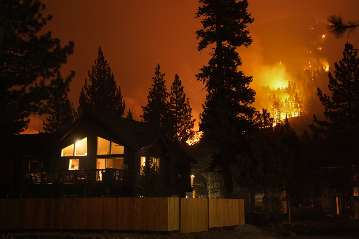
Nevada has enacted a first‑in‑the‑nation law permitting insurers to sell homeowners policies that exclude wildfire coverage, a move supporters say could help stabilize premiums but critics warn may leave homeowners financially devastated. The policy shift positions Nevada as a testing ground for potential nationwide changes, raising major implications for real estate, mortgage, and insurance professionals as lenders, high‑risk communities, and regulators navigate the evolving landscape.
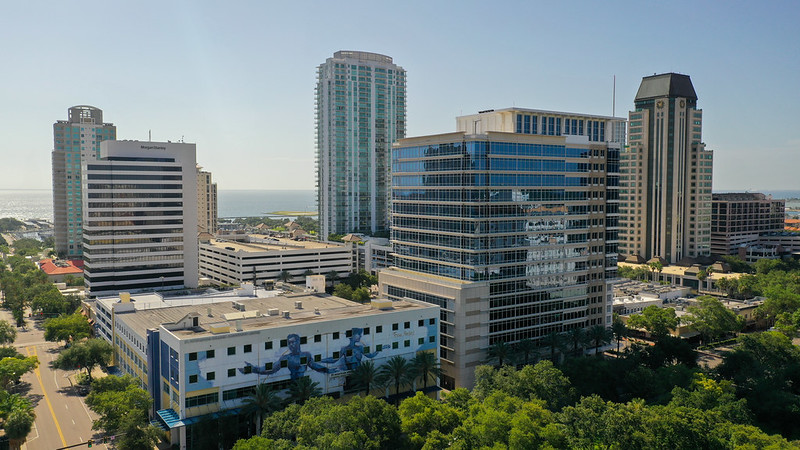
Tampa Bay’s office sector just delivered its most powerful year in nearly a decade, according to JLL’s Q4 2025 report. With more than 600,000 square feet of positive net absorption, falling vacancies, shrinking inventory, and major tenants like Fisher Investments and GEICO locking in massive leases, the region is emerging as one of the nation’s strongest post‑recovery office markets. The surge in demand for high‑quality space is driving rents up, tightening supply, and setting the stage for continued momentum into 2026.
The Consumer Financial Protection Bureau has proposed new updates to the Nationwide Mortgage Licensing System and Registry, expanding data collection, tightening verification standards, and refreshing record‑retention rules. These changes aim to strengthen background checks, enhance regulatory oversight, and align the system with federal requirements—impacting both current and aspiring mortgage loan originators nationwide.
Nevada has become the first state to let insurers sell homeowners policies that exclude wildfire coverage — a dramatic shift that could reshape insurance pricing across the West. Supporters say the move may lower premiums and spark innovation, while critics warn it could leave homeowners exposed to devastating losses. As regulators and insurers nationwide watch closely, the experiment could have major implications for real estate, mortgages, and insurance markets.
After years of soaring premiums and insurer failures, Florida lawmakers are rolling out a new slate of reforms aimed at finally delivering relief to homeowners. From cracking down on profit‑sharing affiliates to unveiling hidden rate factors and rewarding claim‑free residents, these proposals could reshape the state’s insurance landscape — and bring real savings to property owners and real estate professionals alike.
With traditional CRE lending slowing nationwide, C‑PACE financing is surging to all‑time highs — including a record‑setting $465 million loan for a major D.C. redevelopment. Backed by long repayment terms, fixed rates, and tax‑assessment security, C‑PACE is rapidly becoming a preferred tool for funding energy efficiency, resiliency upgrades, and even large‑scale project recapitalizations. Major players like Nuveen Green Capital and Peachtree Group are driving billions in new volume as 40 states adopt the program, signaling a major shift in how commercial real estate projects are financed.


